Satellite Imaging and Monitoring Service
Back to home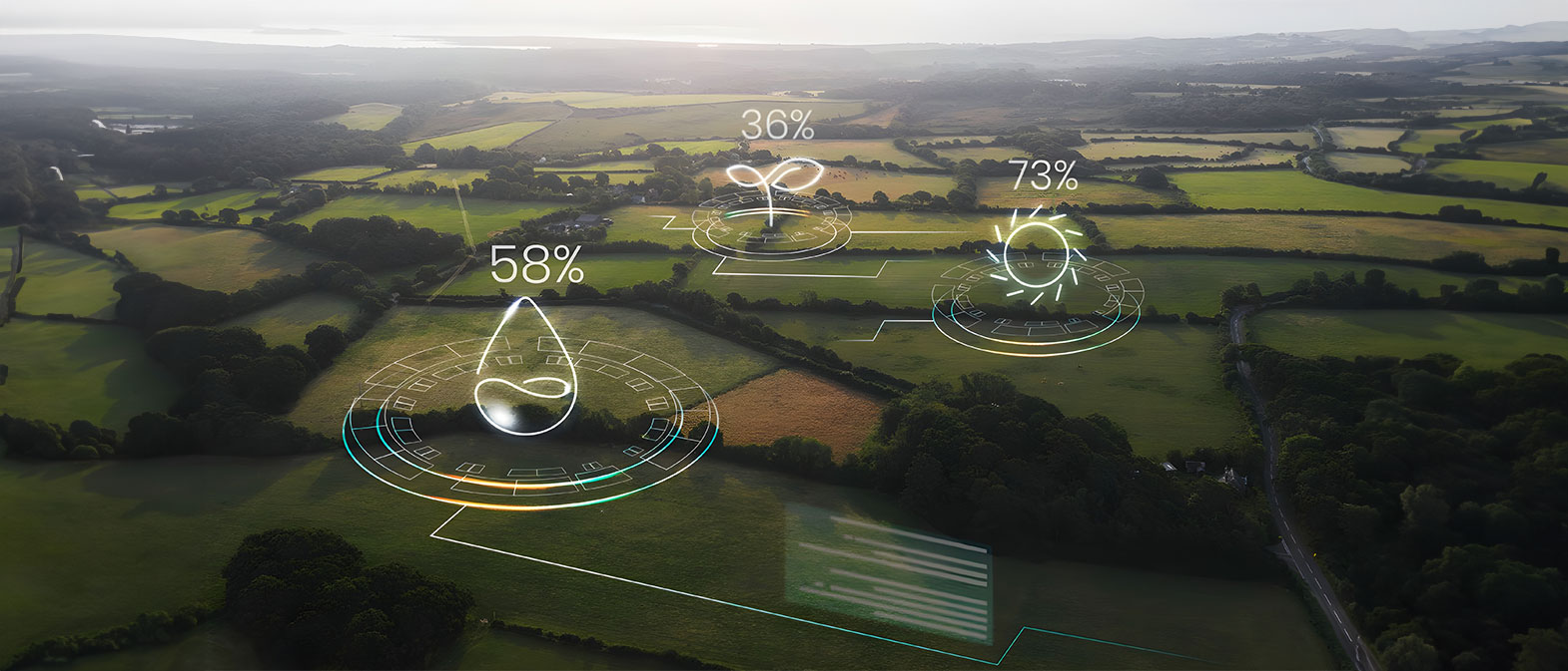
Satellite monitoring involves using advanced technology to collect remote sensing data from space, providing a comprehensive analysis of agricultural land conditions. In the digital age, access to accurate and timely data plays a crucial role in optimizing agricultural processes. The online satellite imaging and monitoring service offers an innovative solution, enabling farmers and farm managers to continuously and precisely monitor and manage their fields using high-resolution satellite images and advanced analytics.